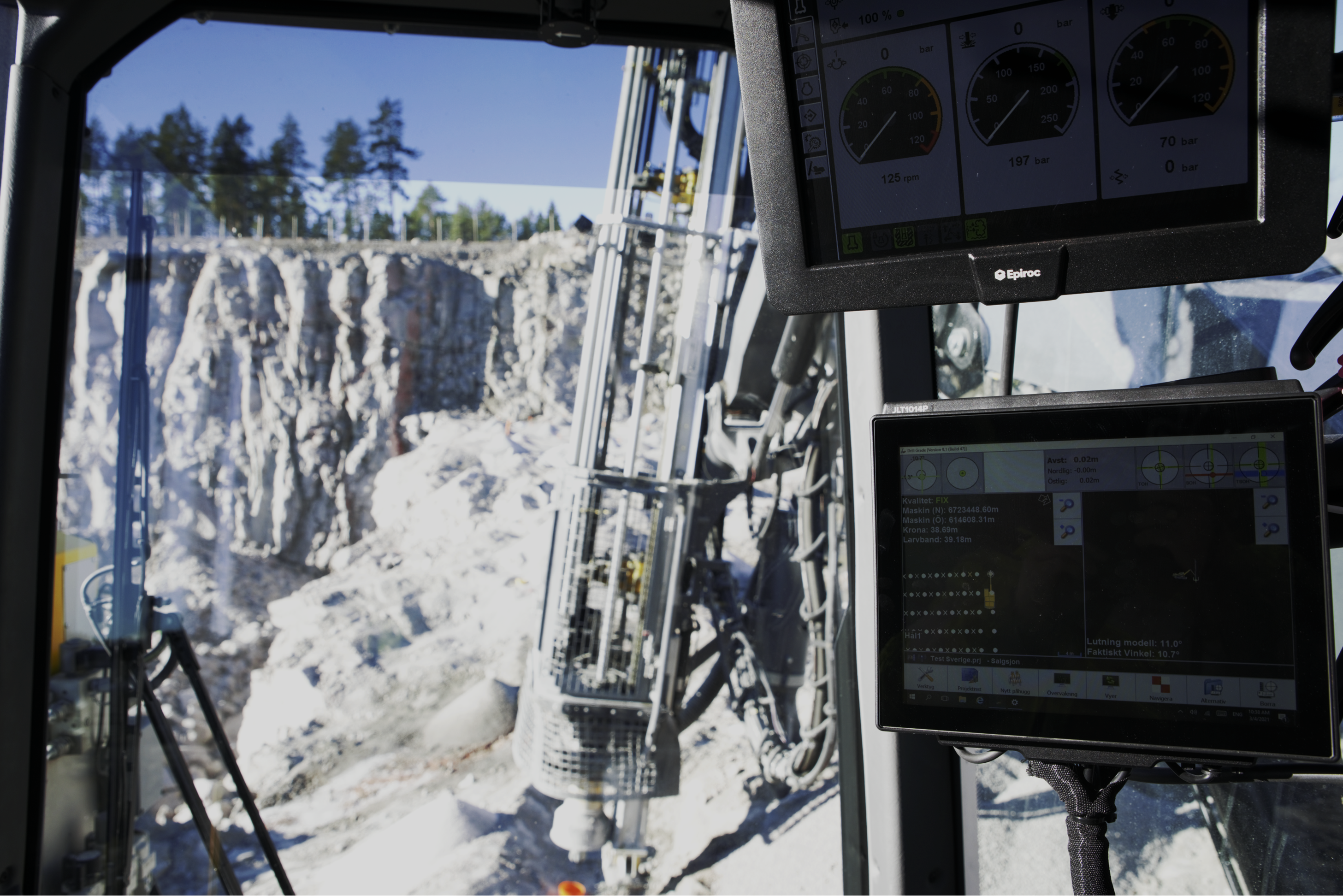
A unique 3D drill navigation system for hole navigation on your drill rig. Flexible, fast, and affordable. The system uses data in standard formats, such as dxf / dwg, iredes and LandXML. Drill plans can be created directly by the operator, both simple and more advanced relative to surfaces and lines.
Drill plans can be shared online between an unlimited number of rigs at the same time and everyone can simultaneously see which holes have been drilled. Via a simple web portal, you can follow the drilling in real-time and take out exactly the reports you want.
Integration is available with most rigs on the Nordic market and can be mounted on all rig types.
Read more at our website l5navigation.com