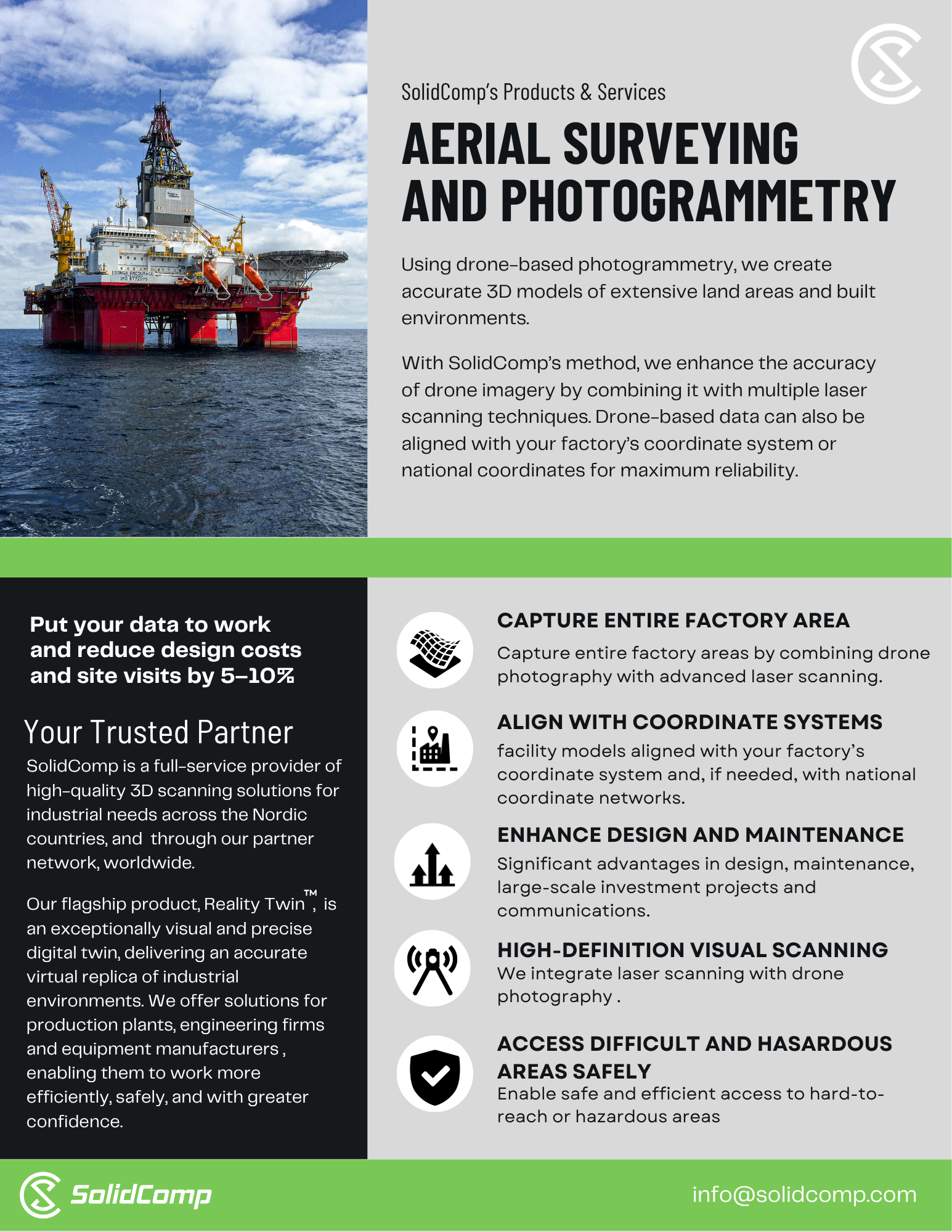
Aerial surveying and photogrammetry with drones
Aerial surveying and photogrammetry uses drone-based capture to produce accurate 3D models of extensive outdoor areas and built environments. It is ideal for mining sites where wide areas must be documented quickly and safely.
Where it fits in mining
- Open areas: yards, stockpiles, roads, terrain and surrounding infrastructure
- Hard-to-reach or hazardous locations where ground access is risky
- Large-scale planning, logistics and communication needs
- Site-wide documentation as part of continuous improvement
Key capabilities
- Rapid wide-area capture with strong situational coverage
- Supports safe access to difficult and hazardous areas
- Can be aligned to the site coordinate system (and, if needed, national coordinates)
- Practical outputs for planning and documentation workflows
Operational impact
- Faster documentation of large outdoor areas
- Reduced exposure to hazardous access conditions
- Better planning and logistics coordination across wide mine sites
Read more at out website https://solidcomp.com/